Holomap
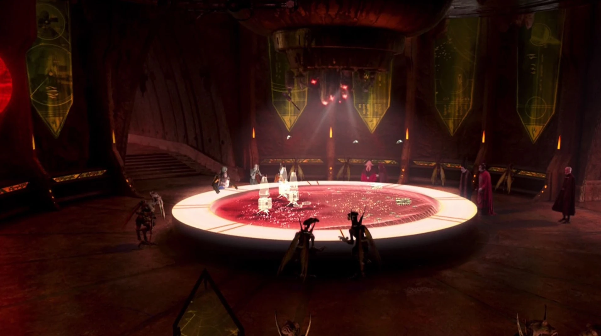 During the First Battle of Geonosis, the Confederacy of Independent Systems employed a holo-map to keep tabs on the battlefield.
A holo-map, sometimes referred to as a holomap, was a map that utilized holographically projected images to represent a geographic or astrographic location in a three-dimensional format.
During the First Battle of Geonosis, the Confederacy of Independent Systems employed a holo-map to keep tabs on the battlefield.
A holo-map, sometimes referred to as a holomap, was a map that utilized holographically projected images to represent a geographic or astrographic location in a three-dimensional format.